Feature Highlight: Mapping & GIS

Visualize the Projects in Your Community
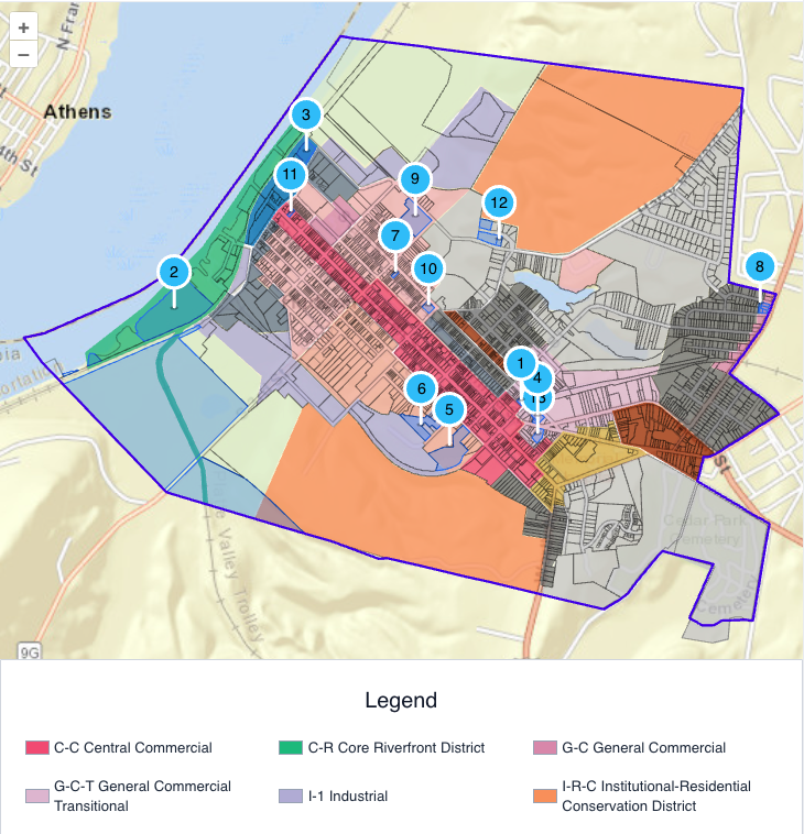
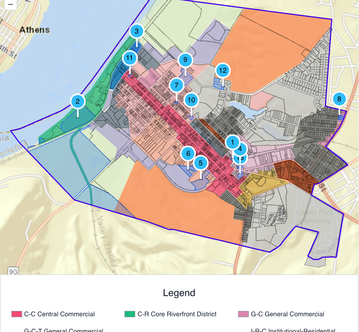
With MuniCollab’s powerful mapping tools, towns, villages, and cities can show all projects currently under review by their land-use review boards in an easy-to-digest visual format. This is a huge benefit to the general public eager to know what projects are proposed near them, as well as for staff and board members who wish to gain a fuller picture of the geography of projects currently under review.Visualize the Projects in Your Community

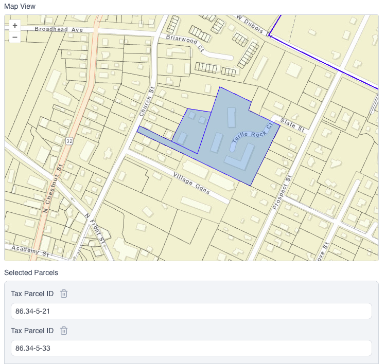
With the GIS integration applicants are able to automatically select their tax parcel IDs simply by entering the address of the property. The parcels are highlighted, and any parcel information that is included in the municipality’s GIS data will be displayed.
Check out the City of Hudson’s Planning Board Projects to see it in action!

